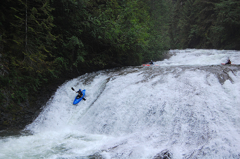
Skookum Creek was irreversibly altered by a run of river hydro project that came online in the spring of 2014 that dewaters the whole section of whitewater. The kayaking community lost the fight to have any recreational releases on this creek, and there is now almost no opportunity for navigation.
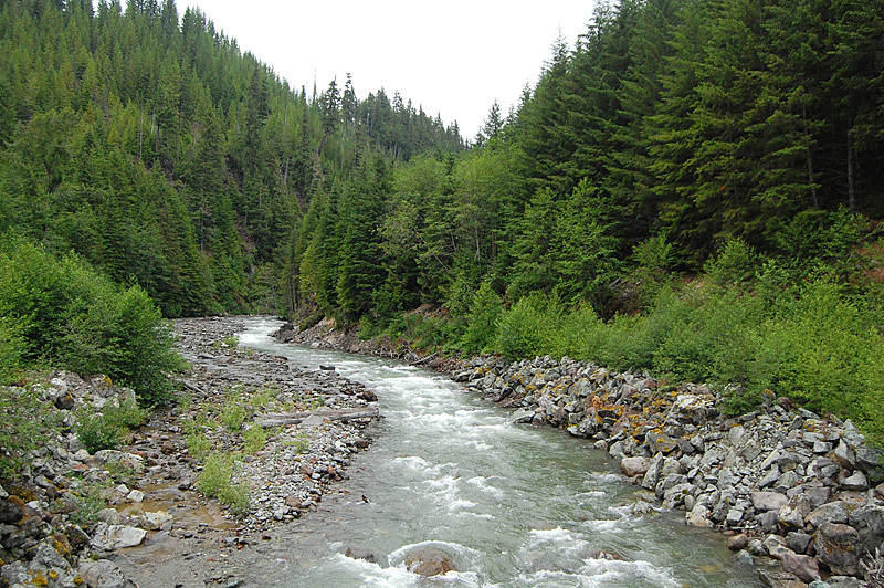
Skookum is a small creek with some big waterfalls found deep in the forest north of Squamish. Another in a long list of classic class V whitewater runs in the area, it is a great paddle with tough scouting, challenging gorges and some of the best waterfalls in the Squamish area. Historically challenged by difficult access which was solved by the construction of a power project, Skookum Creek is now almost impossible to catch with a flow appropriate and stable enough for kayaking. The creek now stands as a stark example of everything negative concerning the effects of hydro development on whitewater recreation.
Directions
Directions
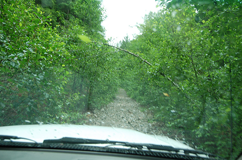
The take out is easy to find, at the confluence of Skookum Creek and the Mamquam River. Simply follow the Mamquam FSR, found on the far west side of Squamish, for about 15 km until you cross the Mamquam. Immediately on the other side of this bridge is a bridge over Skookum, which is the take out. Alternatively use the powerhouse access just upstream. Put in access changed during the construction of the power project, and the optimal put in has yet to be described but it is likely from river left using the power project roads. Starting at the dam puts you in the river well above the old starting point, but it is now the obvious choice. The original starting point was about 3 km above the take out. It's also possible to access the creek from the river right logging road.
Flows
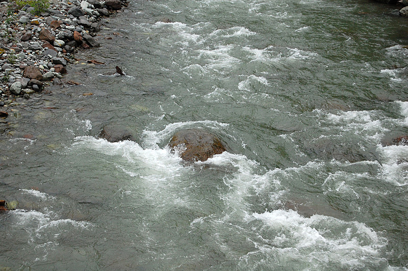
As of 2021, we have access to a gauge for Skookum Creek. This gauge is located just below the dam and represents the flow in the diversion reach -- what we kayak. We are still working to establish minimums and maximums but 8-15cms is a good starting point with 8 being quite low and 15 being higher than most would want it.
Currently, the gauge updates once daily, but in the future we expect to gain access to more regular (hourly) updates.
On the River
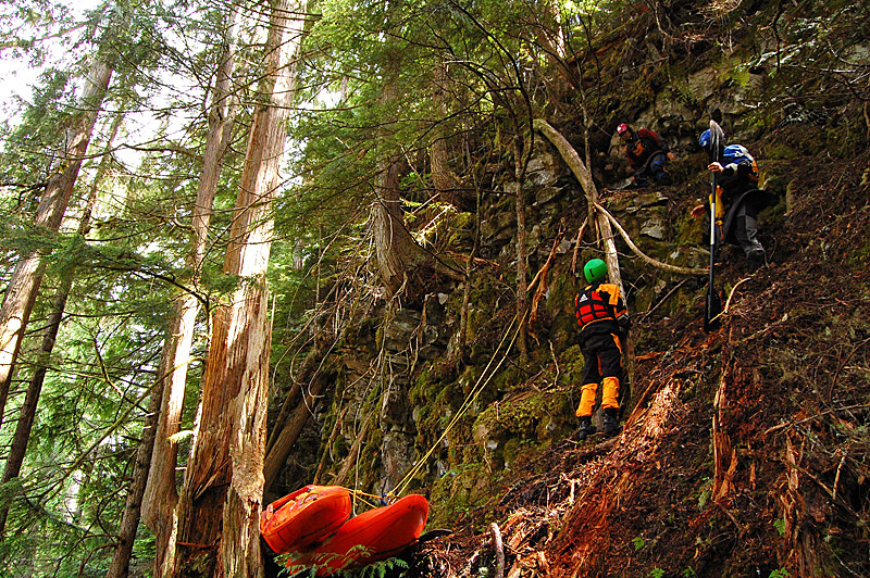
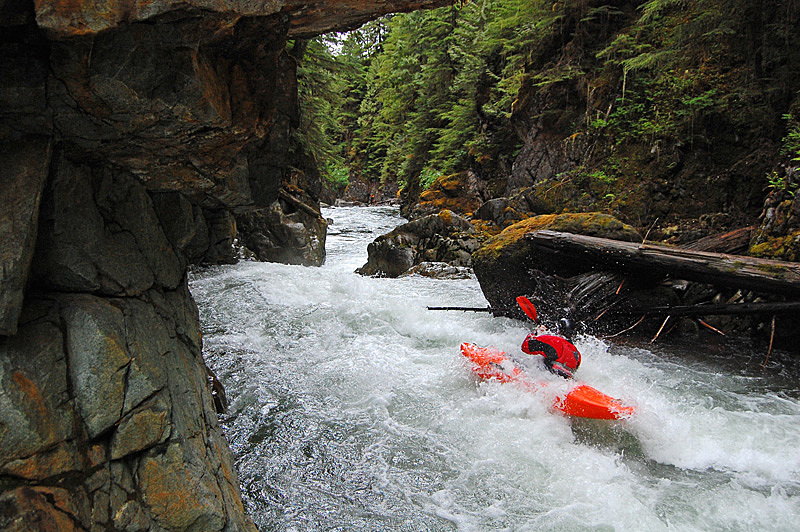
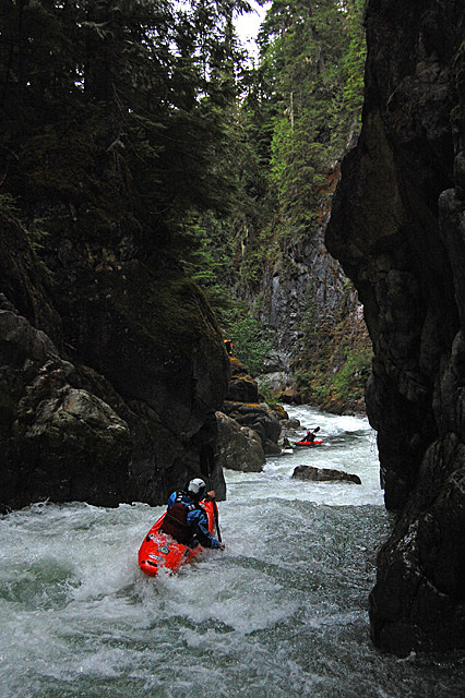
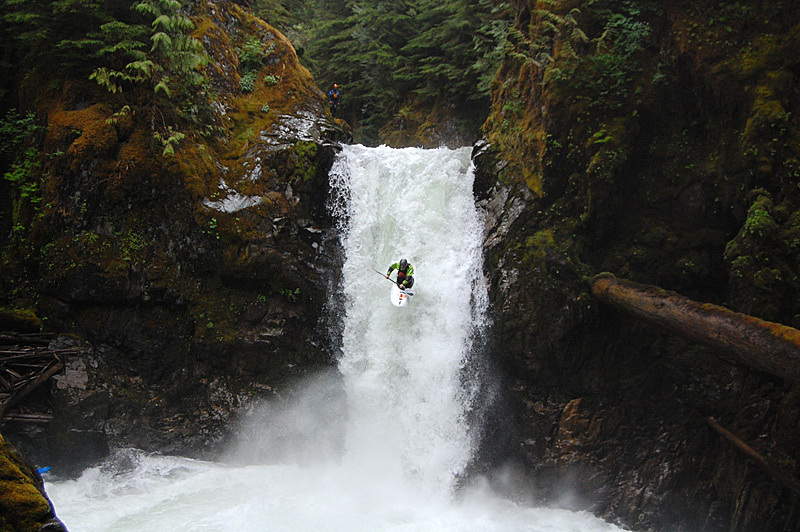
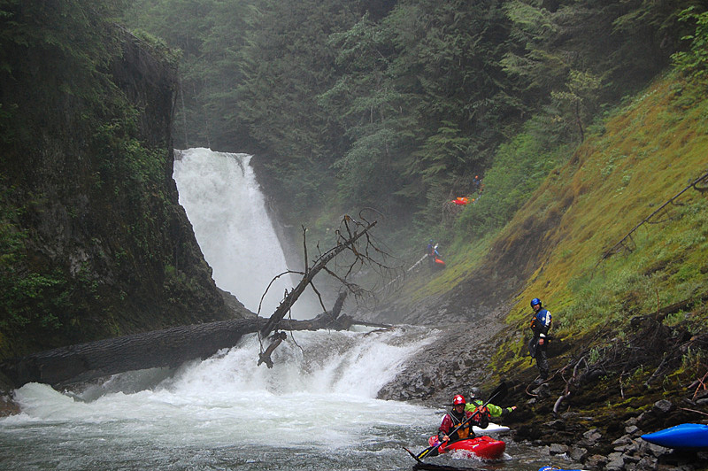
From the dam down to the old put in is undescribed whitewater. From the old put in location about 3 km up from the take out are a series of narrow canyons that are difficult to scout and are seemingly impossible to portage. Wood will forever be a potential issue on this run so scout carefully. A section of relatively open class III-IV precludes the ultra classic 30ish foot waterfall that is tricky to scout and can't be walked. It is awesome. The river lands in a beautiful polished granite cauldron that boogies around the corner and shortly arrives at an even bigger waterfall. This 50-60 foot drop has a weird lip and lands in relatively green water. Portaging this drop is almost impossible and you should come to Skookum Creek with the intent to run it, or be prepared to hike out. Below here are a few more rapids, some corners, good scenery and finally the bridge at the take out. It's a good river with classic waterfalls - have fun getting in there and sorting it out, and be thankful if you had the chance to run it under natural conditions!
