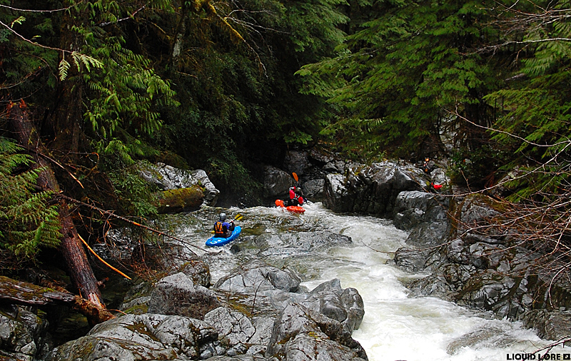
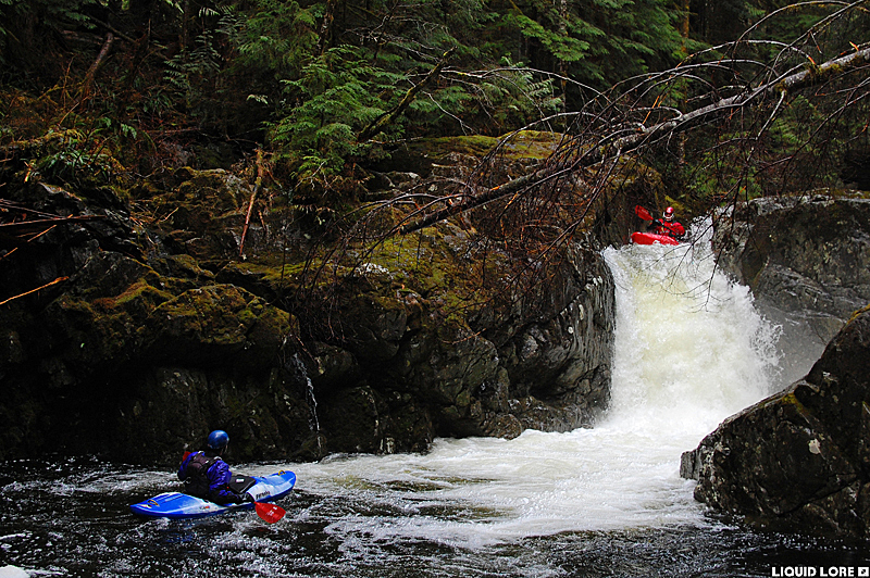
Granite Creek is a small, unassuming drainage at the southern tip of Vancouver Island that holds a remarkable array of waterfalls along its length. The first clean drop is little more than ten or twenty paddle strokes from where you launch into the river, and it just keeps giving up the goods until you reach the best and final 20-to-40 footer combo just above the take out. The only downside to the run is the incredible amount of wood in the river - it's likely to always be an issue that changes after every high water event.
Granite Creek runs when things are medium to high in the area. The online Renfrew Creek gauge is accurate and it corresponds to the stick gauge located at the put in. The flow tends to rise and fall quickly. Note that the put in gauge will read, for example, 0.70 when the online gauge reads 1.70. Referring to the gauge at the put in, 0.60 is absolute bare minimum and 0.80 is the medium sweet spot. Higher is possible.
Access to Granite is along the well maintained road network resulting from heavy logging on the Island. The take out is at the southern end of the Harris Main logging road near Port Renfrew. The Harris Main can be found just north of Port Renfrew or it can be accessed from outside the town of Lake Cowichan. The take out is where the creek goes under the Harris Main. Take note, it is signed Renfrew Creek at the bridge - the creek is labeled "Granite (Renfrew) Creek" in the 5th ed. Backroads Mapbook. The put in is up the river left logging road. After the 6 km marker a spur will break to the left, which quickly brings you to the put in bridge and the visual gauge.
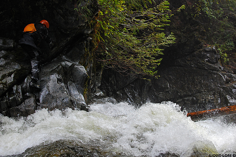
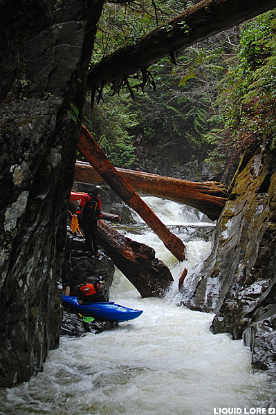
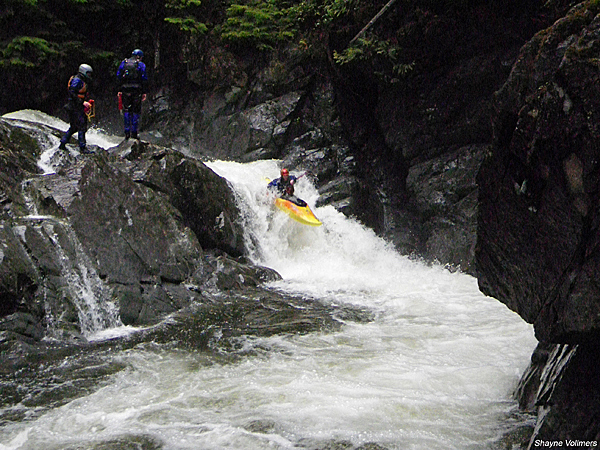
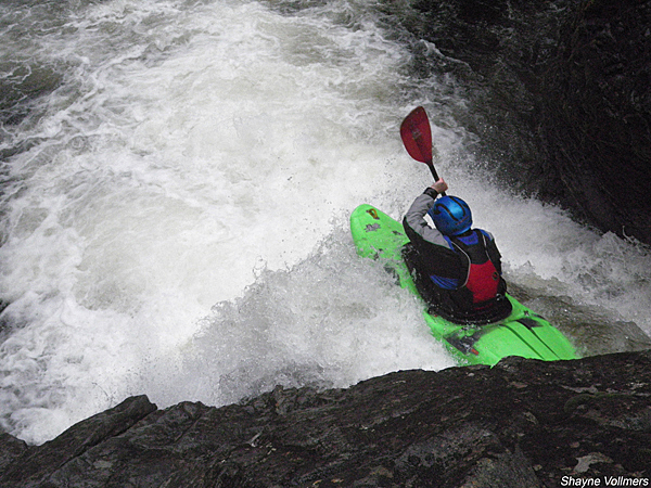
The Granite comes out swinging. From the bridge you can see an obvious horizon line - just a taste of what's downstream. It's a small creek here, but don't worry too much - it picks up volume as you go down river. Launch from under the bridge, run the lead in and then boof 10 feet off the first of many clean drops. Apparently there are 24 ledges and waterfalls on this stretch (I didn't count). What follows are more clean drops interspersed with small to medium sized bedrock and boulder rapids. You will need to scout carefully for wood and portage where necessary. The river doesn't canyonize until the very end and everything can be portaged with some effort. It is pointless to describe where the wood lives as it changes after every flood. Everything is runnable if it's not clogged, though you will have to be very lucky to have the whole run clean.
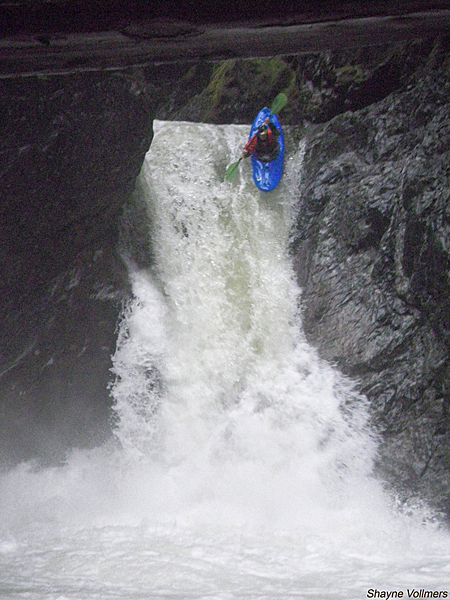
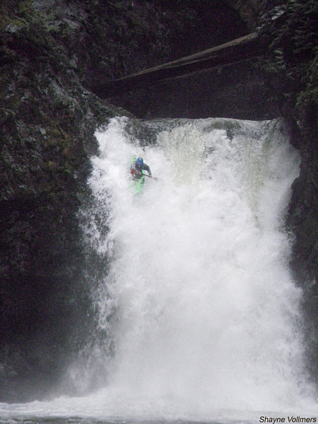
About 2/3 of the way down a significant tributary enters from the right. One of the bigger waterfalls is below here, and below that a huge landside has dropped in from the right creating an enormous log jam that is currently a mandatory portage. After some more rapids including one of the bigger non-waterfall drops you will get to the best part of the run - a 20-to-40 footer combo.
These falls are the entrance to the only vertical walled canyon on the run. If you run the first you have to run the second - there is a huge pool between the two that gives enough space to collect people and take a breather. After dropping into the pool below the big waterfall you're faced with several hundred meters of steep, sievey, mostly runnable boulder piles that, despite the big walls, can be dealt with at river level. All too soon you'll be paddling the class II run out down to the bridge where cold beers and your shuttle are waiting, topping off a great river.
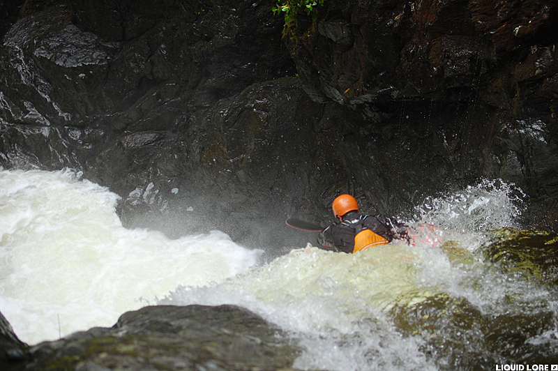
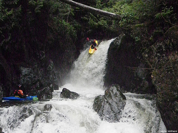
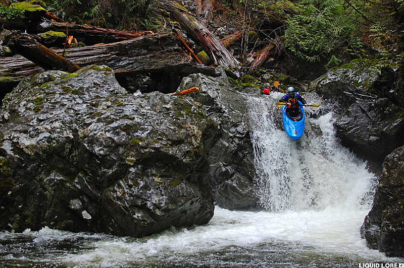
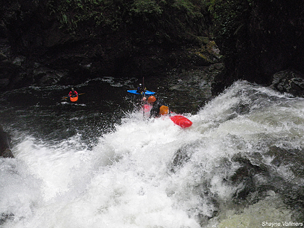
Finally, here are some photos of the run. They will certainly fuel your fire to go run Granite Creek. The photos are in downstream order.
