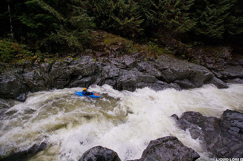
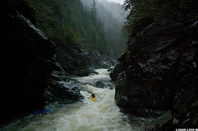
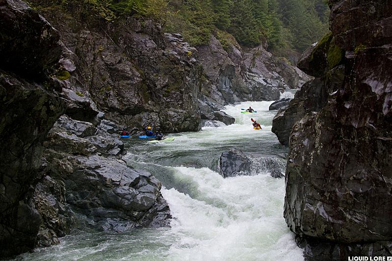
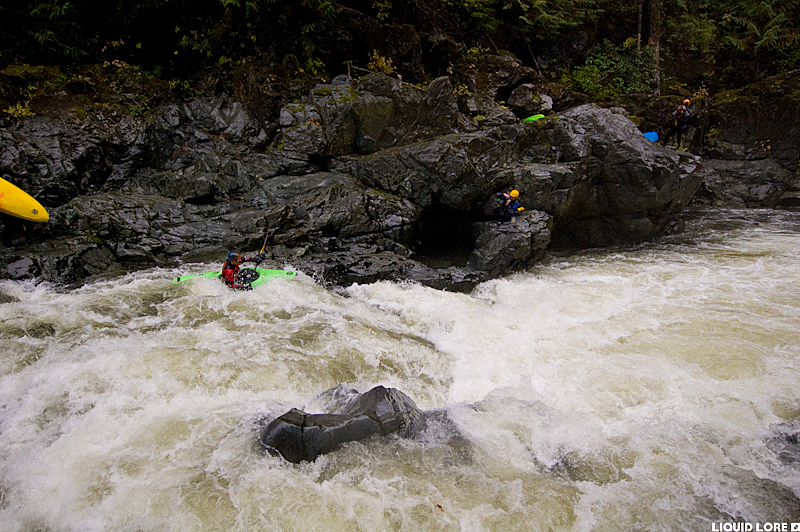
The Gordon River is often the first river that comes to mind when people speak of kayaking on Vancouver Island. It's one of the bread and butter runs of the southern kayak zone that has multiple sections which tolerate a variety of water levels, and it remains runnable for a long window after it rains. The upper run is a great bedrock pool-drop section suitable for intermediates at lower flows that remains of interest to stronger boaters because of the high quality rapids, as a quick warm up for the class IV-V Middle Gordon, or at really high water simply because it is really fun when it's high.
The Gordon doesn't have a gauge, but levels can be approximated from the Harris Creek gauge. A level of 4-6 cms on that gauge usually means it will be in the medium range, and 10+ cms will probably be high water. Otherwise, levels are visual - prior experience helps in knowing exact flow. The Gordon holds water for a long time, long after other runs in the area are low or have dried up. If there's been a decent rain within 4 or 5 days it will probably have water. The Upper Gordon also tolerates high water very well, and the high water range is quite wide.
Southern Vancouver Island tends to be a rats nest of new and old logging roads so using a Backroads Mapbook to find your way around is highly recommended. Fortunately the Gordon is paralleled by one of the main roads that heads north from Port Renfrew to Lake Cowichan so as long as you can find this main road there should be little problem finding the access points for the river.
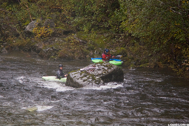
The put in for the Upper Gordon is at the third bridge (counting from the ocean) over the river, found down a short spur off the main Gordon River road. There is large rock downstream of the bridge that has a metal memorial bolted to it that serves as an obvious marker to tell if it's the right bridge. The take out is found about 100 meters below Loup Creek (a major river right tributary) where a short trail comes up from the water.
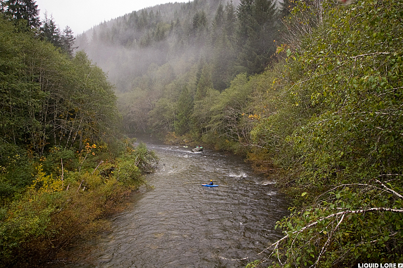
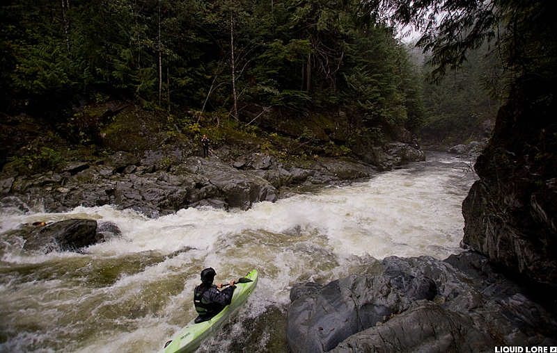
The Upper Gordon starts out flat. This doesn't last for long and quickly you'll come upon some nice warm up rapids. You'll eventually reach the main bedrock section where things will maintain a pool-drop character with scouting and portaging that generally remains straightforward. The crux of the run comes as a series of three rapids in quick succession called Triple Drop. It is nestled down in a small canyon and can be portaged through the forest on the left.
Below here things being to ease off. There is one more rapid of note remaining called Terminator. This rapid has a deceptive lead in to a sticky recirculating hole at the bottom, and an easy portage on the left. The take out is after Loup Creek enters from the right just above a hard left bend in the river. A short trail goes up to the road at the bend. If you reach a stout 15 foot waterfall you've gone too far.
A note on high water: Proper high flow is when water is near or flowing over the top of the large rock downstream of the put in bridge. The lines largely remain the same, but it turns from pool drop into a bit of a gushing torrent with a few huge holes.
