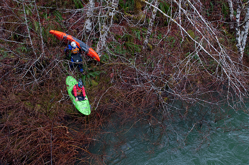
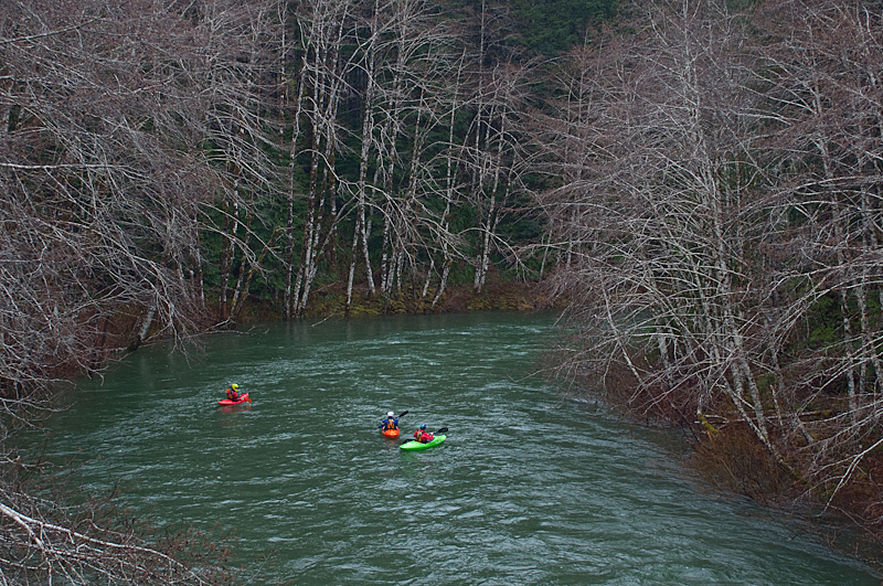
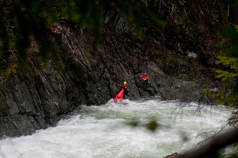
As it's been said many times, the Gordon River is the crown jewel of southern Vancouver Island kayaking. The aptly named Flood Run is as you would expect; a section that is best run when the Gordon (and everything else in the area) is running at high water. While not of the same quality as the lower sections of this river, the Flood Run is a great alternative if there really is nothing else to paddle because the water is too high, and you're in the area.
Unfortunately there is no online gauge for the Gordon River. Levels can be approximated from the Harris Creek gauge, otherwise you just have to go look. If everything in the area is visibly too high, this run is good to go. Otherwise, the Harris Creek gauge should probably be reading at least 10 cms before starting to think about this run. Major flood events (floating wood in river etc.) aside, this run likely doesn't get too high as most of the rapids are easy to portage. It is possible to combine the Flood Run down through a high water Upper Gordon when conditions are right.
A Backroads Mapbook will be your friend in finding your way around the Gordon. The river is accessed by driving down the Gordon River logging road that connects Mesachie Lake with Port Renfrew. It is usually quicker to get to the Gordon through Lake Cowichan, even if coming from Victoria. The take out is at the well known put in for the uber classic Upper Gordon. The put in is at the next bridge about 8 km upstream. The road closely follows the river for the length of the run, and many of the rapids are visible from the shuttle.
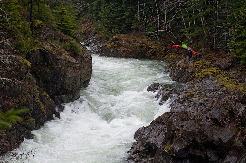
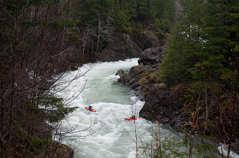
Once on the water, the majority of this run is self explanatory. The run consists of relatively continuous moderate boogie peppered with several bigger rapids. Everything is visible from above, and you will probably have stopped and looked at the biggest rapids from the road. The hardest rapids are easy to walk, the road is always close and everything is scoutable. Keep in mind that even though this run is accessible at high flows, things can chug along very quickly and weaker groups should proceed with caution when it is pumping.
View Gordon Flood in a larger map
