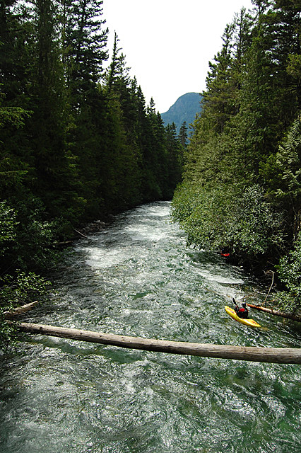
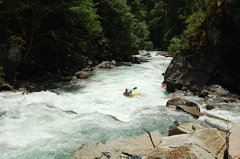
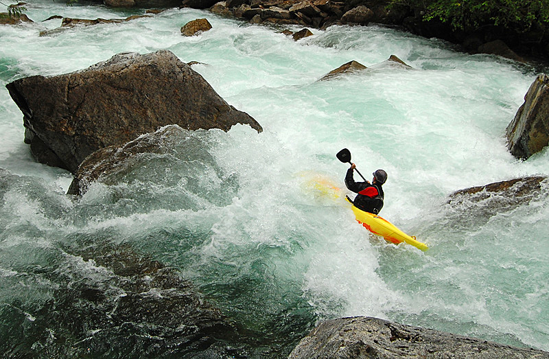
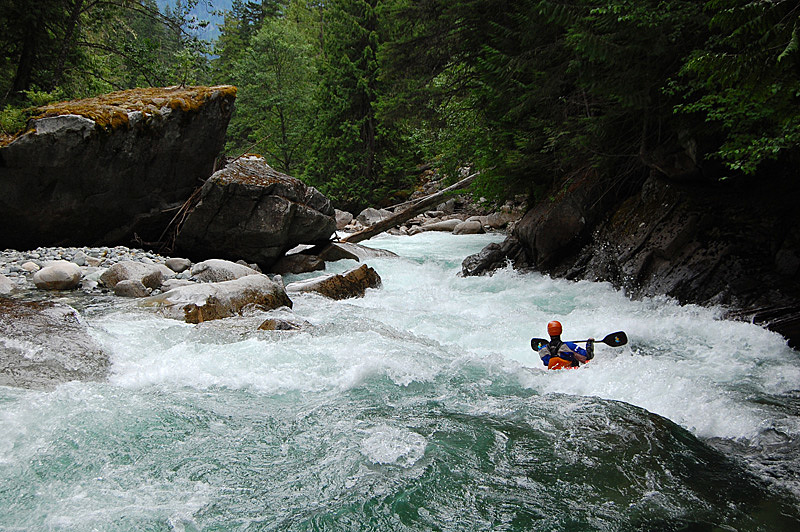
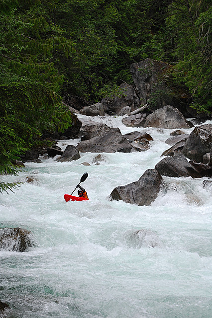
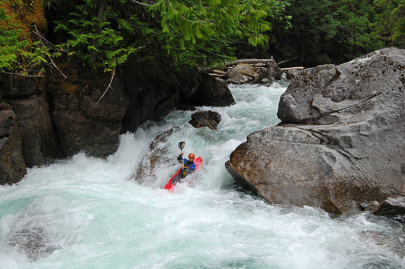
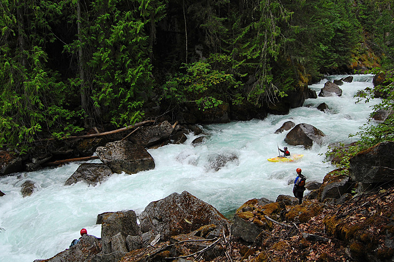
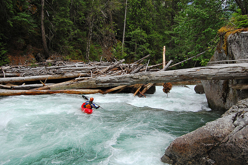
The Upper Birkenhead is yet another example of the fantastic whitewater found in the south coast area of BC. It's one of the best boulder rapid runs around. As a local top favorite, it says a lot about the quality of the whitewater when you consider all of the great kayaking in the area. People talk about the Upper Birkenhead as being "BC class IV", which is a little misleading as to what you'll find on the river - while it can be cruisy at lower levels, this run is a non-stop barrage of long, complex boulder rapids and if you go in there with any sort of decent water level you won't be calling it class IV after you get to the takeout. Everyone comes away raving about how good of a run this river is - you won't be disappointed either.
Finding the Upper Birkenhead is an easy task with decent dirt road access to both the take out and the put in. From the town of Pemberton head east along highway 99. When you reach Mount Curie follow the road signs towards D'Arcy - do not take the hard right turn to follow the 99. Heading north from Mt. Curie you'll be driving up the Birkenhead valley and eventually you'll cross over the river. Continuing on, the river will be visible as a braided section on the left.
The turn on to the Birkenhead FSR is a left turn off the highway where you immediately cross over a rail line. The turn is not well marked - the sign for the Birkenhead Lake Forest Service Road is on the far side of the rail tracks. Head up this road, staying left when you have the choice and you'll quickly pass under a transmission line - the take out is where the power lines cross the river. You can park on the road or follow a rough track down the hill to get closer to the water. To get to the put in, continue up the FSR for about 7 km where a spur (Tenas Creek Branch, it's signed) will break off to the left. Drive down the hill to a bridge over the river - this is the put in.
The water level is visual at the put in. The river here is quite wide and almost flat so it can be hard to know the exact level until you get in to the first big rapids (quite a ways downstream). If it looks low here, the river is probably too low. Medium, high and too high are hard to distinguish - for a rough estimate, use the picture below of this rock, which is found immediately downstream of the bridge on river right. Alternatively, if you're really worried you can hike up the river from the take out to the last few rapids - if they're too big for your taste, the rest of the river probably will be too.
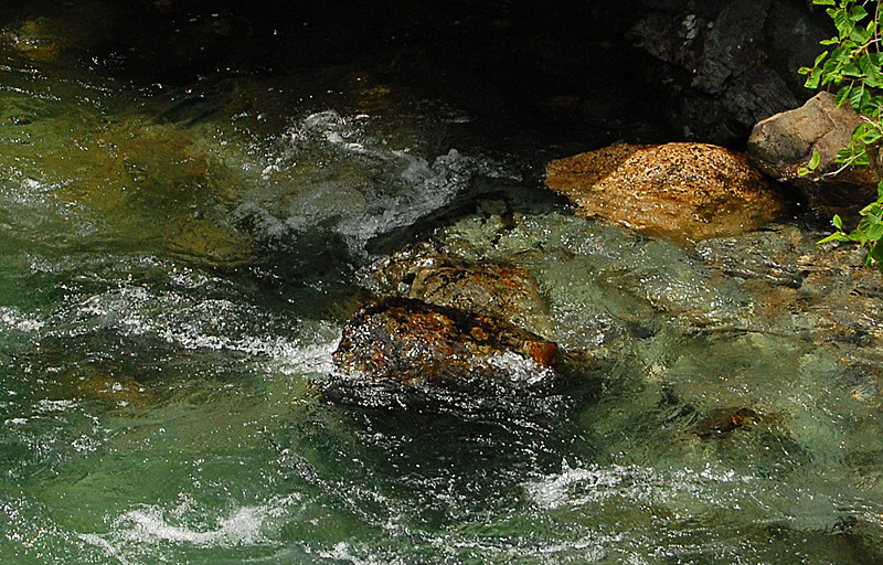
There's not a lot to say about the Birkenhead once on the water - if you don't have a guide you're probably going to have at least one person out to scout everything. The good news is this river never drops in to a gorge and the whole thing can be easily scouted, and walked with a little effort.
From the outset, the Upper Birkenhead is as it looks from the put in bridge - easy and almost flat. This slowly builds and soon you'll be paddling class II and then class III. This trend will continue right until the end with the rapids generally getting harder the further you descend down the valley. The meat of the run starts at a strong left bend in the river where there is a nice class IV rapid - from there on down it's pretty sustained until the take out.
Enjoy the excellent boulder rapids that follow - you'll know you're near the end after you run a distinctive S-turn rapid - the long rapid below this one is the final major drop of the run, and it culminates in a log jam that you paddle underneath - scout it on the left. There are a few small boofs between the wood and the take out. And with that, enjoy the photos of the river (they're in downstream order) and get stoked to check it out.
